The District of Fort St. James requested a signage and wayfinding master plan to encourage visitors to explore beyond the Fort St. James National Historic Site. For residents, the wayfinding needed to create a sense of community through a depiction of both its Dakelh and settler heritage.
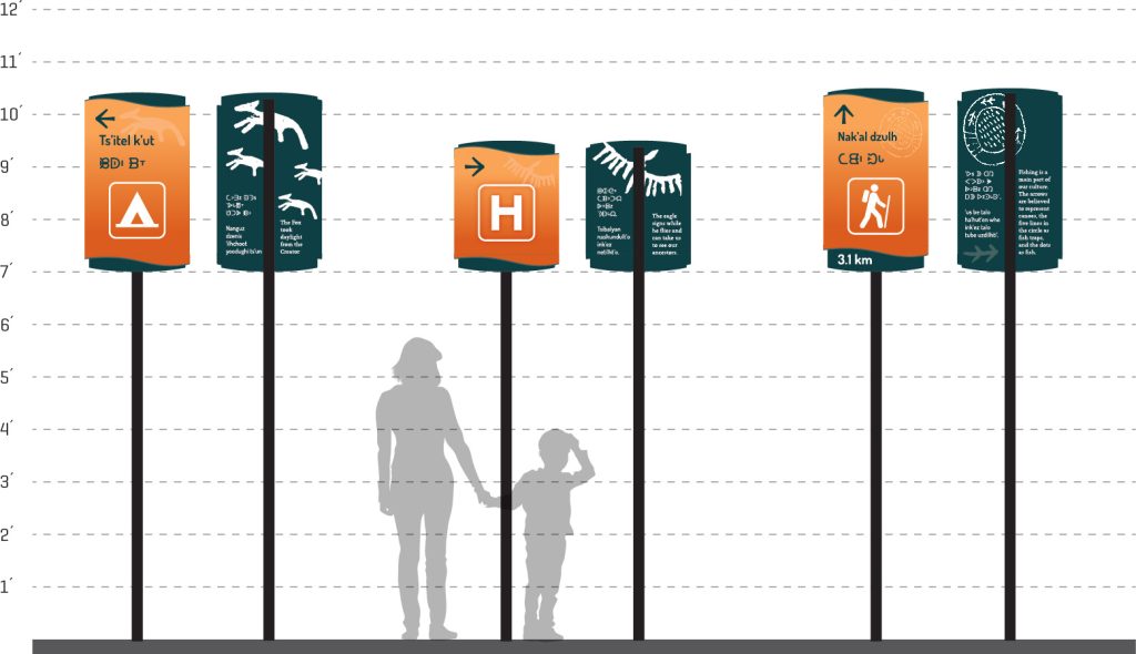
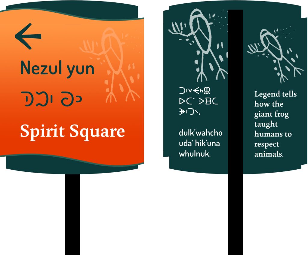
The wayfinding concept reflects the community’s history and character, is cohesive with existing infrastructure, and builds on the existing Downtown Revitalization Plan and the Trails Master Plan. The text on the both sides is written in Dakelh (in both Roman script and syllabics) and in English.
The final plan tells the local story, enhances a sense of place, identity and interconnectedness throughout the community. The wayfinding master plan minimizes confusion for those new to the community and, through a phased approach, will grow with future civic tourism and other projects.
The final plan tells the local story, enhances a sense of place, identity and interconnectedness throughout the community. The wayfinding master plan minimizes confusion for those new to the community and, through a phased approach, will grow with future civic tourism and other projects.
The back of each sign has an explanation of the meaning of the pictograph depicted to build understanding and connection.
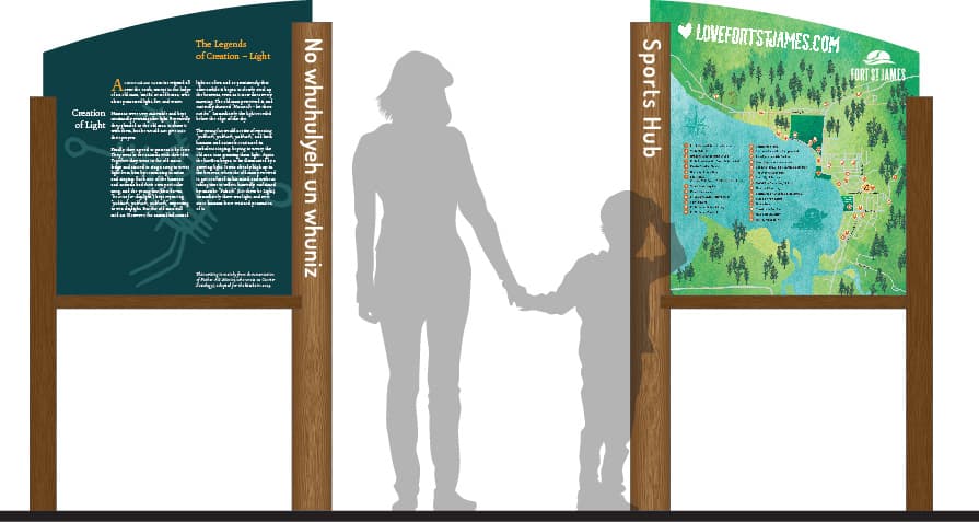
Two kiosk concepts were also developed to further promote and orientate visitors throughout the community.
Colour Pallet: Orange represents the resilience of the Nak’azdli Whut’en peoples and their culture.
Green represents the lush landscape and home to Nak’azdli Whut’en. Green also connects to the existing signage.
Work done: research, concept development, writing, prepare final production artwork, map illustration, prepare multi-phase implementation plan.